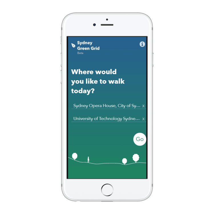
Entering point of origin and destination
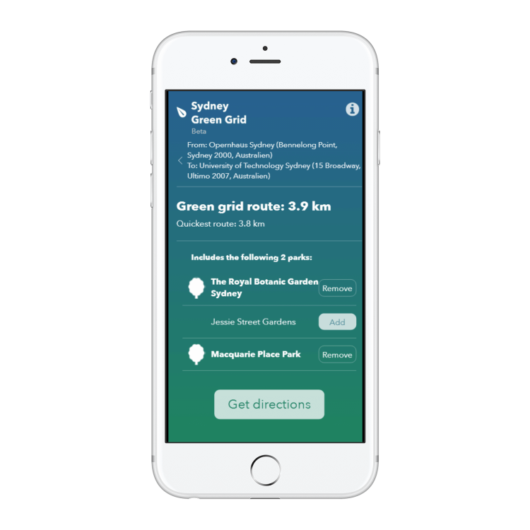
Route preview with the possibility to add and remove parks
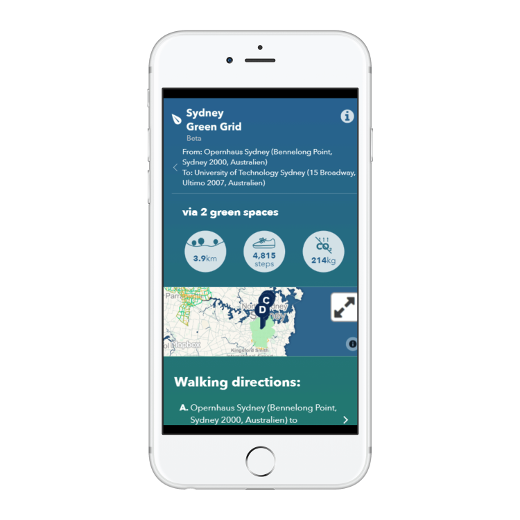
Route detail view with key information like number of steps and distance
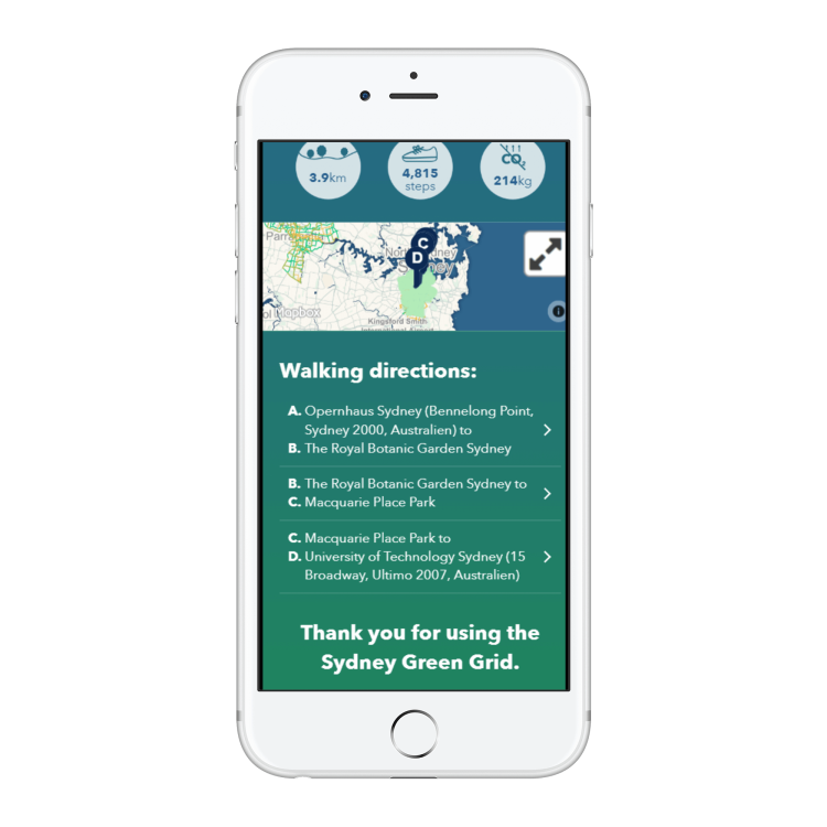
Route detail view with walking directions
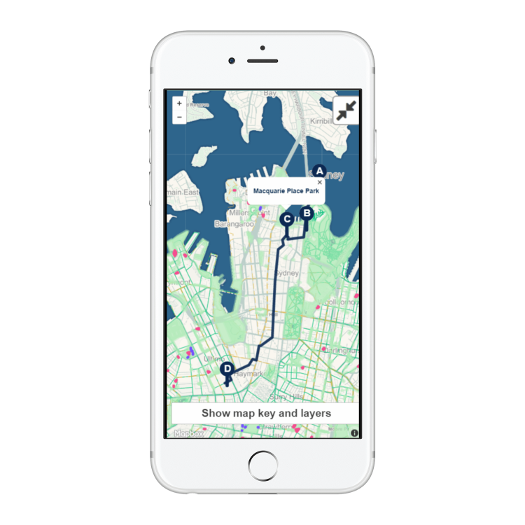
Map view built with Mapbox
Year: 2015
Roles: Frontend Development
Tech: CoffeeScript, Backbone, Underscore, Jade/Pug, Stylus, Gulp, Mapbox
Company: while working as Data Visualisation Developer at Small Multiples (Sydney, Australia)
Client: New South Wales Government Architect's Office (Australia)
This project features a prototype mobile app that encourages people to walk through parks and other green spaces in Sydney. It delivers a network of interlinked, multi-purpose open spaces with good connections to areas where people live and work.
In detail, users can select their start location and destination. The app generates a list of pedestrian route options and the green spaces covered on the route. It avoids big main roads. The route preview is shown on a map with information like tree canopy, playgrounds and fitness stations.